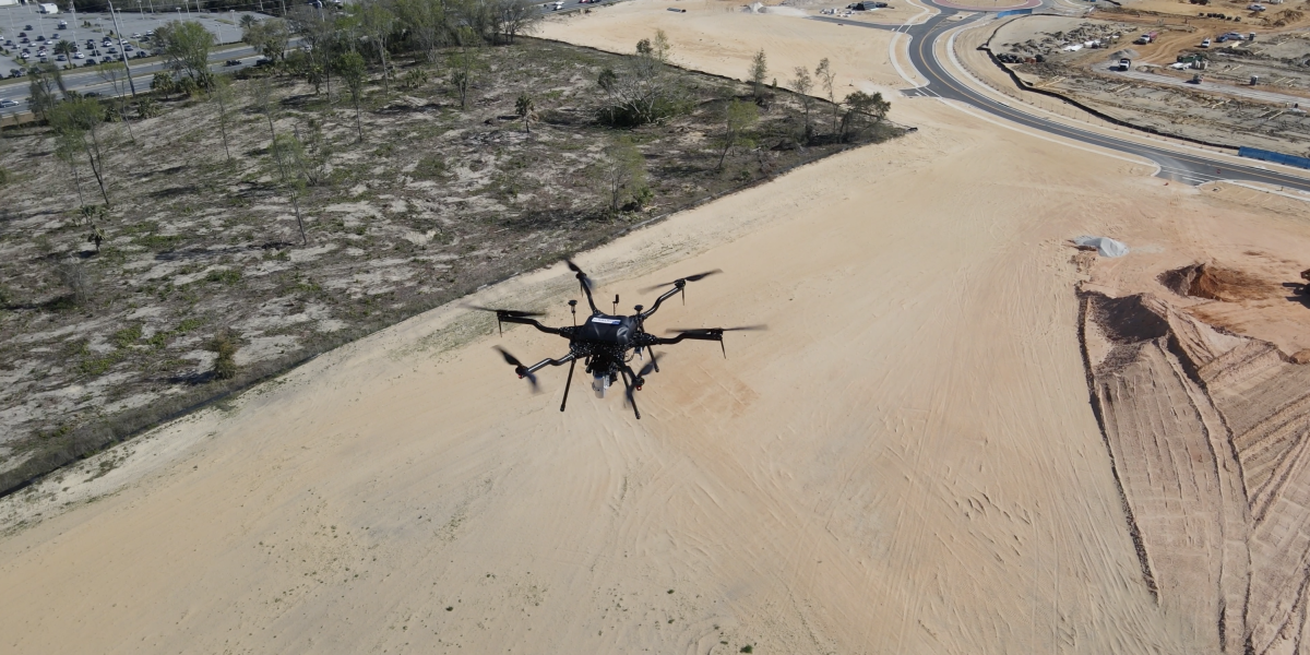
In the right environment, KPM Franklin’s aerial LiDAR scanning can reduce two weeks of traditional field survey time to as little as two days, drastically decreasing survey lead time and reducing costs.
For more about our unmanned aerial surveying (UAS) services, visit services.kpmfranklin.com/uas
For more about our unmanned aerial surveying (UAS) services, visit services.kpmfranklin.com/uas
Video – Our Harris Aerial Carrier H6 Hybrid drone conducting aerial LiDAR scan at Westfall Station project site, Clermont, FL

