ORLANDO, Fla., January 27, 2026 – KPM Franklin is pleased to announce the renaming of its land surveying and mapping department to Geospatial & Land Surveying, effective immediately.
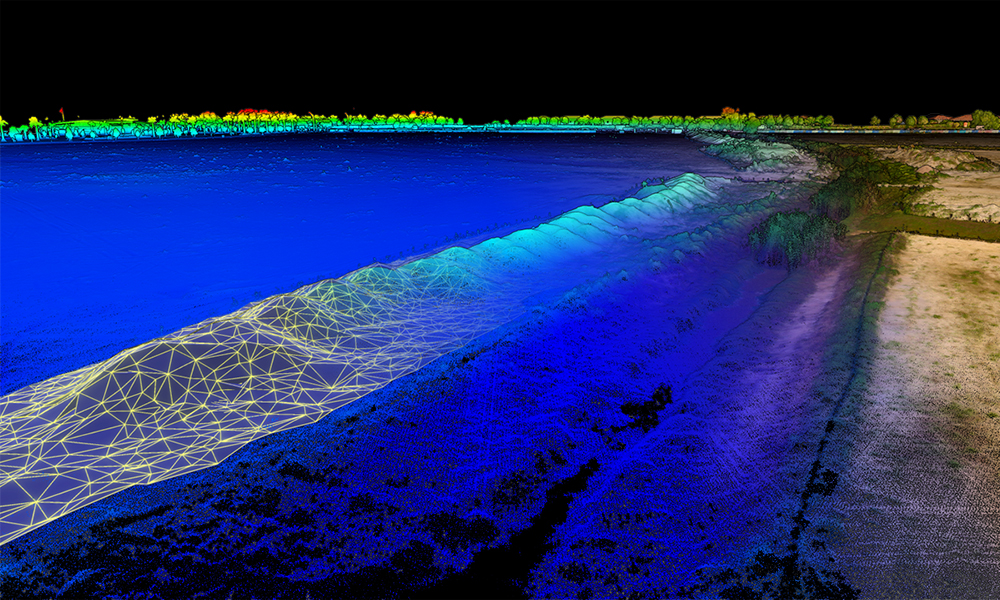
The name change reflects the department’s commitment to evolving its service offerings by integrating high-tech terrestrial and aerial drone-based LiDAR, GIS data and spatial analysis, advanced 3D modeling and GNSS positioning and digital terrain modeling with traditional boots-on-the-ground field services that use manual, instrument-based observation methods to collect accurate positions, boundaries, elevations and topographic features at project sites.
“Our new Geospatial & Land Surveying identity marks a bold leap forward, bridging the gap between the time-honored precision of traditional surveying and the limitless potential of geospatial innovation,” said Jay Pulice PSM, vice president of survey operations and principal. “By uniting LiDAR, 3D modeling, GIS and GNSS, we are capturing digital intelligence that empowers our clients to visualize and navigate a complex world with unprecedented clarity.”
Robby Moon, CEO and principal, said the new name accurately reflects how the veteran leaders and core staff in the department have the experience and expertise required to meet the increasingly sophisticated technological demands in 2026 and beyond.
“The new name represents the full spectrum of services our Geospatial & Land Surveying department delivers from powering mission-critical decisions in commercial business and urban planning, to enabling resilient infrastructure design and advancing environmental science,” Moon said. “This not only better aligns with the diverse, high-impact challenges our clients face across industries, but also positions us to attract an even broader and more talented pool of tech-driven professionals and student interns who are passionate about shaping the future.”