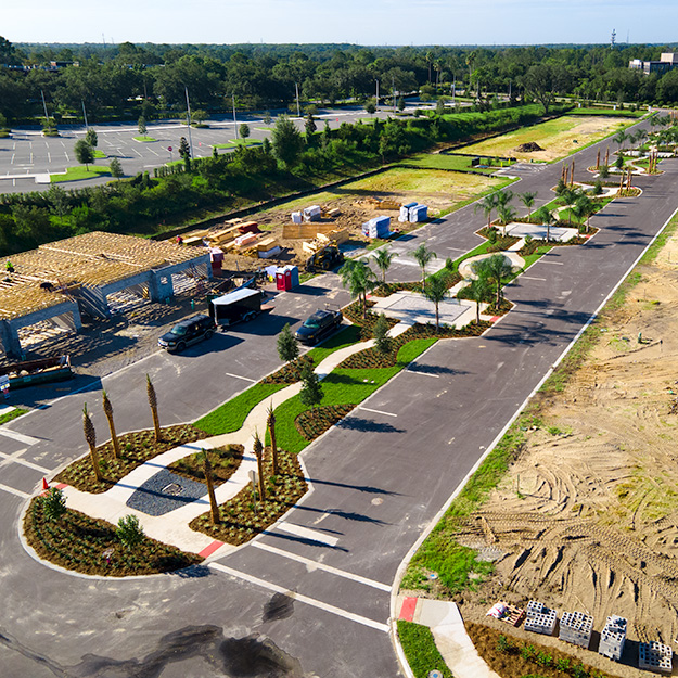
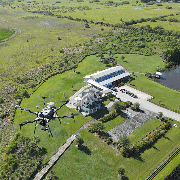
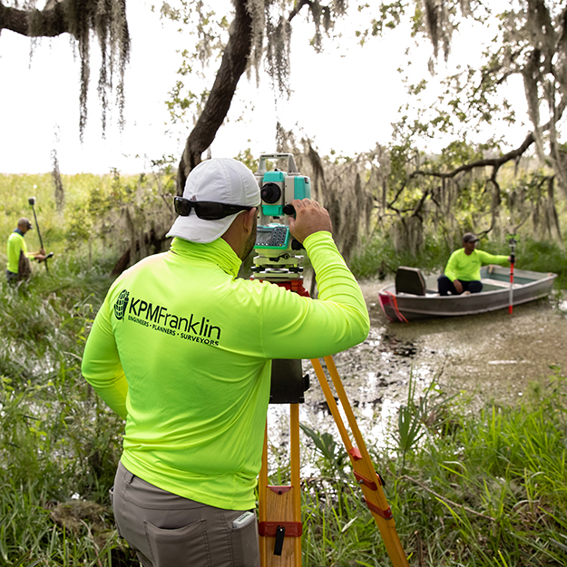
Services Civil EngineeringPlanningLandscape ArchitectureGeospatial & Land Surveying Civil Engineering Civil Engineering Services Commercial DevelopmentResidential DevelopmentLand DevelopmentRoadway DesignStormwater ManagementErosion ControlStormwater Pollution Prevention PlanningDrainage StudiesWater and Wastewater UtilitiesCost EstimatingConstruction Administration/CEIEarthwork Analysis Planning Planning Services Land Planning Services Project EntitlementsDue Diligence ReportsFeasibility StudiesAnnexation ApplicationsRezoning ApplicationsComprehensive Plan / Land Use Amendment ApplicationsVariance, Conditional Use and Special Exception ApprovalsConcept and Site PlansPlanned Unit DevelopmentCommunity Development Districts Landscape Architecture Landscape Architecture Services Landscape DesignIrrigation DesignHardscape DesignPlanting ConceptsPlanting PlansPlacement and Theming Design Geospatial & Land Surveying Geospatial Services LiDAR Data Acquisition3D Laser Scanning2D Surface MappingGeoreferenced Orthomosaic ImageryStockpile Volume MeasurementUtility Corridor MappingAsset Inspection & Management3D Modeling & VisualizationAerial Thermal ImagingChange Detection & Progress MappingEnvironmental and Wetland Mapping Land Surveying Services Boundary, Topographic & Tree SurveysALTA/NSPS SurveysConstruction Layout & StakingLegal Descriptions & SketchesJurisdictional Wetland SurveysAs-Built SurveysUtility LocationHighway Surveying & MappingSubdivision & PlattingFloodplain & Elevation CertificatesConstruction Progress Documentation