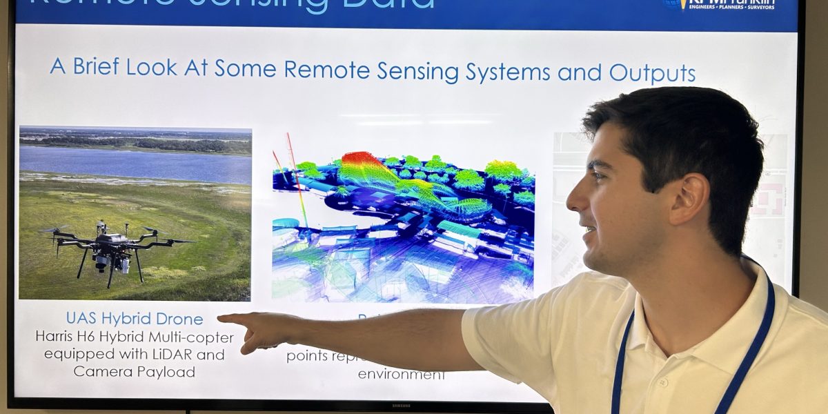
This week KPM Franklin’s GIS lead Carson Kelly attended the Central Florida GIS Workshop in Daytona Beach. Kelly presented Introduction to Deep Learning for Raster Analysis using ArcGIS Pro, a brief introduction of how deep learning systems work followed by a workflow demonstration of a simple deep learning model that classifies aerial images captured with our Harris H6 UAS system using ArcGIS Pro deep learning tools.
We are deeply engaged in learning new technologies and embracing the changes that AI brings with it to incorporate innovative and more efficient techniques in our work.
Learn more about how we use these technologies in our unmanned aerial services services.kpmfranklin.com/uas

