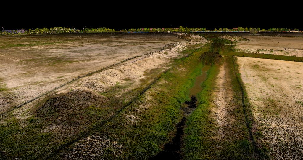
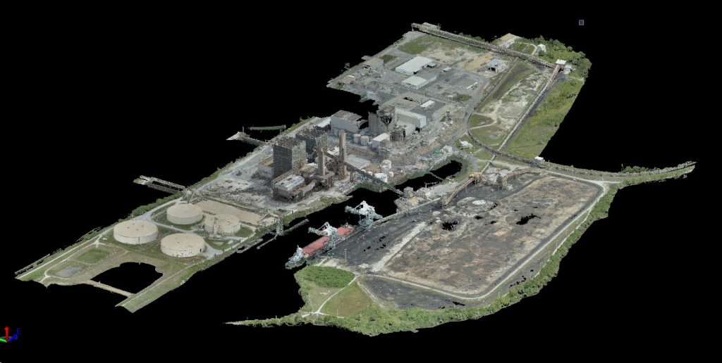
Our LiDAR scanning drone can capture georeferenced orthomosaic maps stitching together multiple overlapping images, eliminating inaccuracies often found in traditional ground surveys.
Image one – Wellen Park multiuse project site near North Port, FL Image two – Advent Health Partin Settlement Health Park in Kissimmee, FL Image three – Crystal River Power Plant in Crystal River, FL
This spring KPM Franklin entered into a corporate sponsorship agreement with the University of Central Florida (UCF) College of Engineering & Computer Science (CECS) that
KPM Franklin participated in the University of Central Florida (UCF) College of Engineering & Computer Science (CECS) Industry Showcase during National Engineers Week on Thursday,
KPM Franklin’s Daniel Doyle P.E, project manager, and Kimmy Phan P.E., project engineer, attended the groundbreaking ceremony for the UCP of Central Florida Osceola Campus
KPM Franklin recently presented Land Development 101 to members of the University of Central Florida (UCF) American Society of Civil Engineers (ASCE) student chapter. Robby
On February 8, 2025, KPM Franklin participated in the University of Central Florida (UCF) College of Engineering & Computer Science (CECS) 2025 College Showcase which
KPM Franklin is honored to have four talented University of Central Florida (UCF) civil engineering student interns working at our Orlando office during their spring
Interested in joining us? KPM Franklin is always looking for qualified talent.