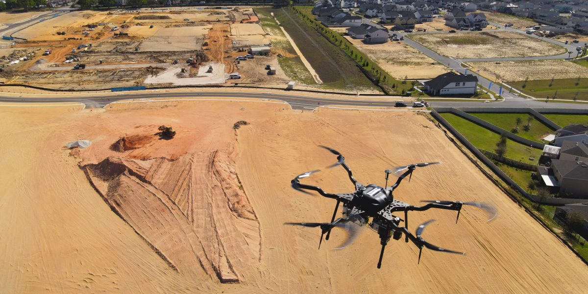
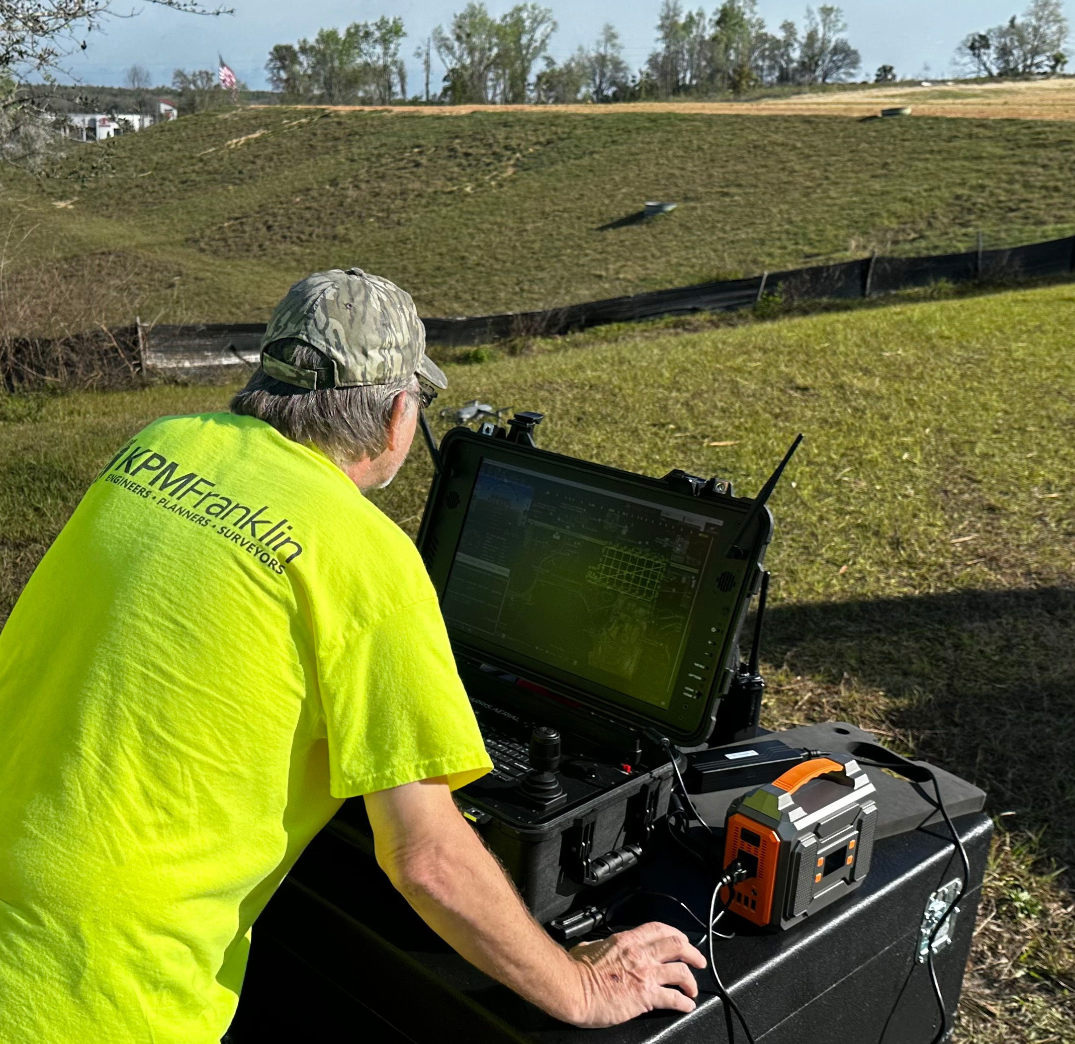
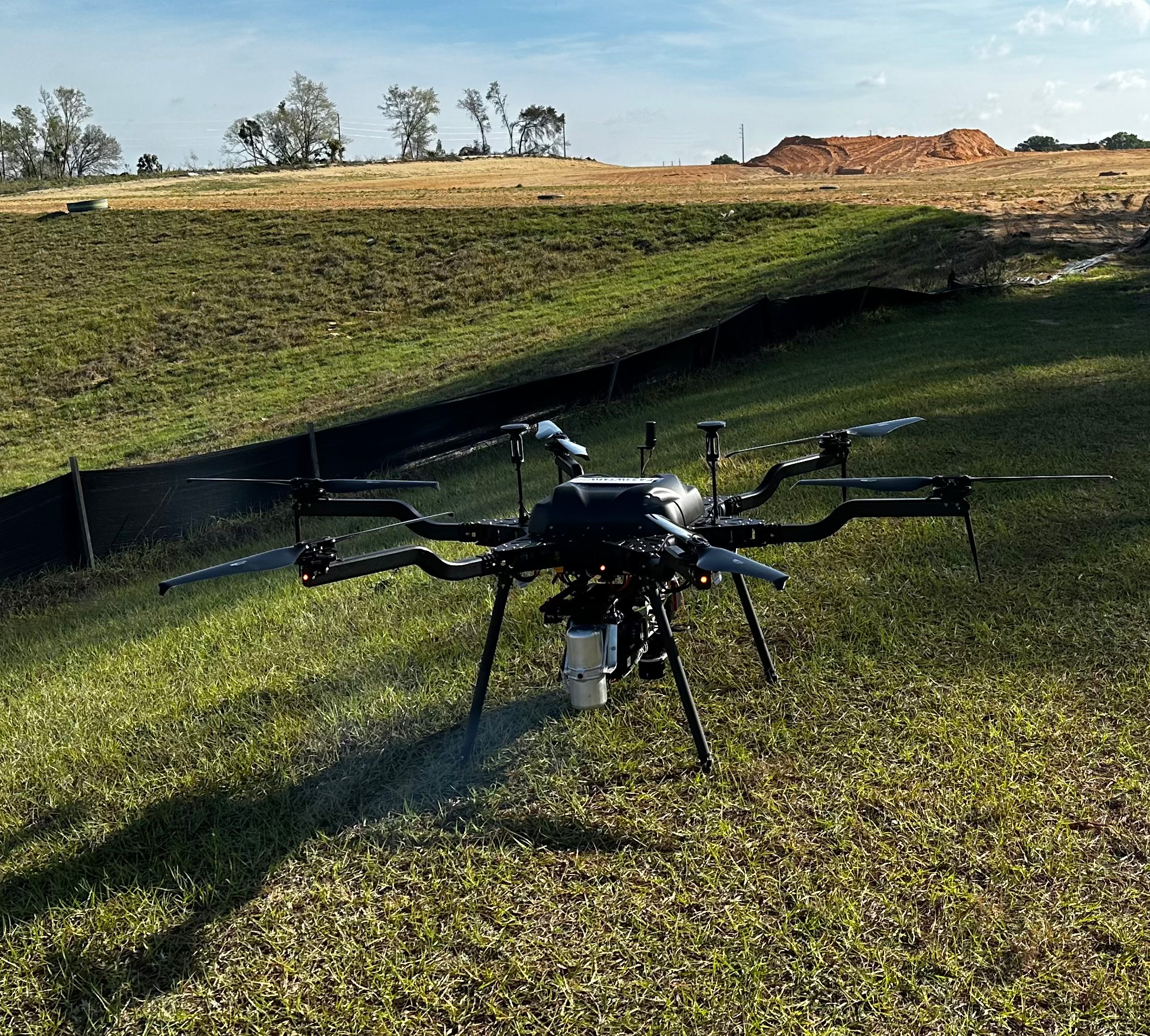
This week we took the skies again using our Harris Aerial Carrier H6 Hybrid drone to create a 3D map of the Westfall Station multiuse project site in Clermont, FL.
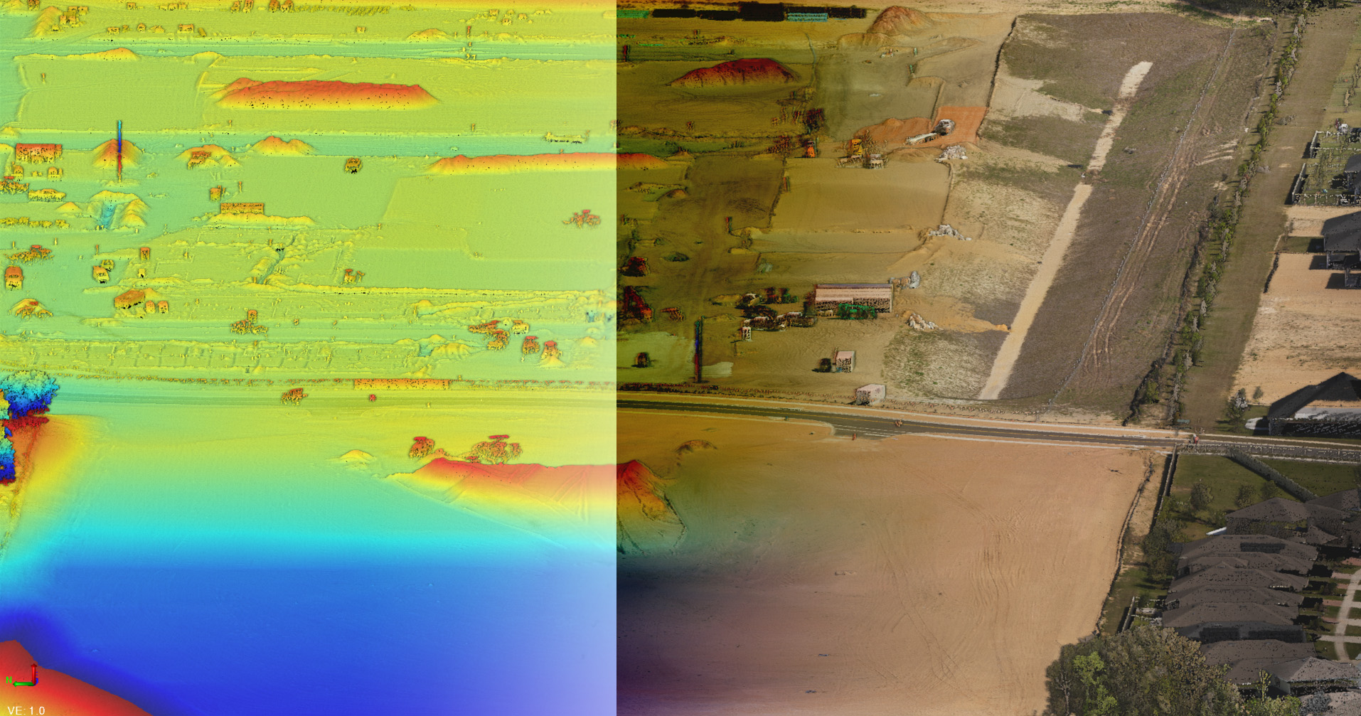
The LiDAR and imagery data collected using a Riegl Minivux 3UAV LiDAR system on the drone will be utilized for construction progress monitoring, volumetric calculations and topographic feature extraction.
Comprehensive datasets like the ones featured here are ideal for assessing full site conditions on the field collection day that wouldn’t otherwise be possible through conventional surveying practices.
Visit services.kpmfranklin.com/uas for more information.
Visit services.kpmfranklin.com/uas for more information.