
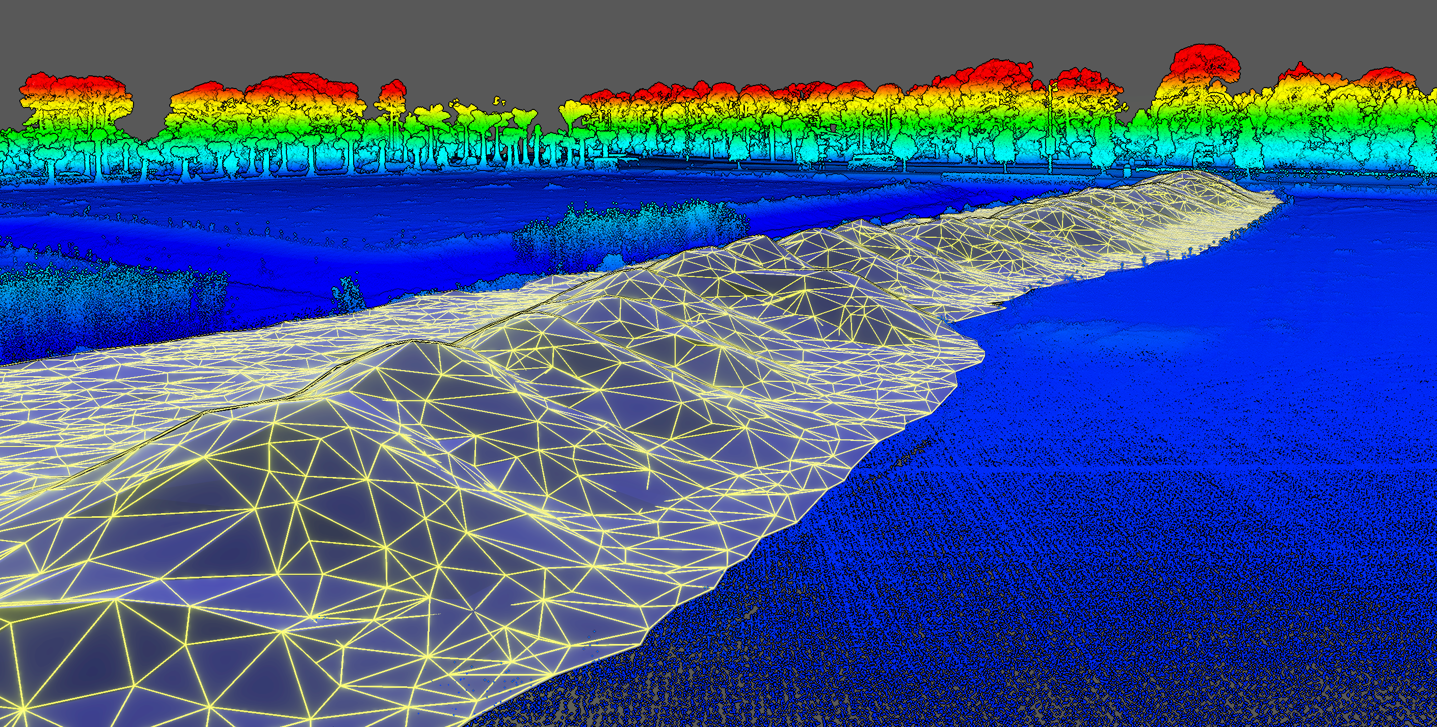
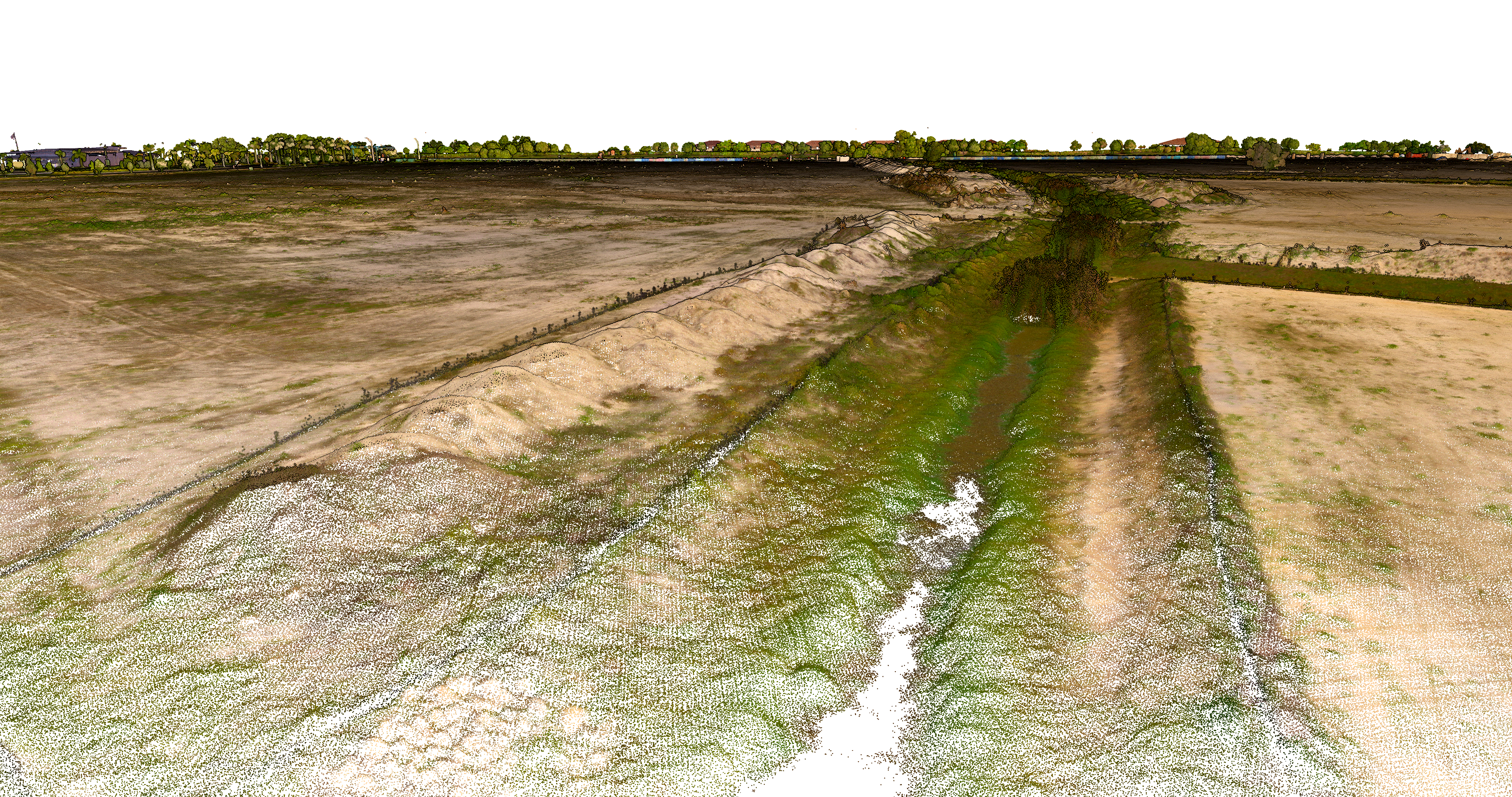
KPM Franklin’s Unmanned Aerial Surveying Services can create more accurate volumetric calculations of material stockpiles of any size or shape in a fraction of the time it takes for other traditional surveying. Our LiDAR scanning drone can repeat the same flight path to monitor changes in volume over time.
Visit https://services.kpmfranklin.com/uas for more information.
ACE Mentor Program
For the second consecutive year, KPM Franklin is proud to host the ACE Mentor Program of Central Florida at our Kissimmee office. Throughout the 2025-2026