Insights

CFGIS Conference

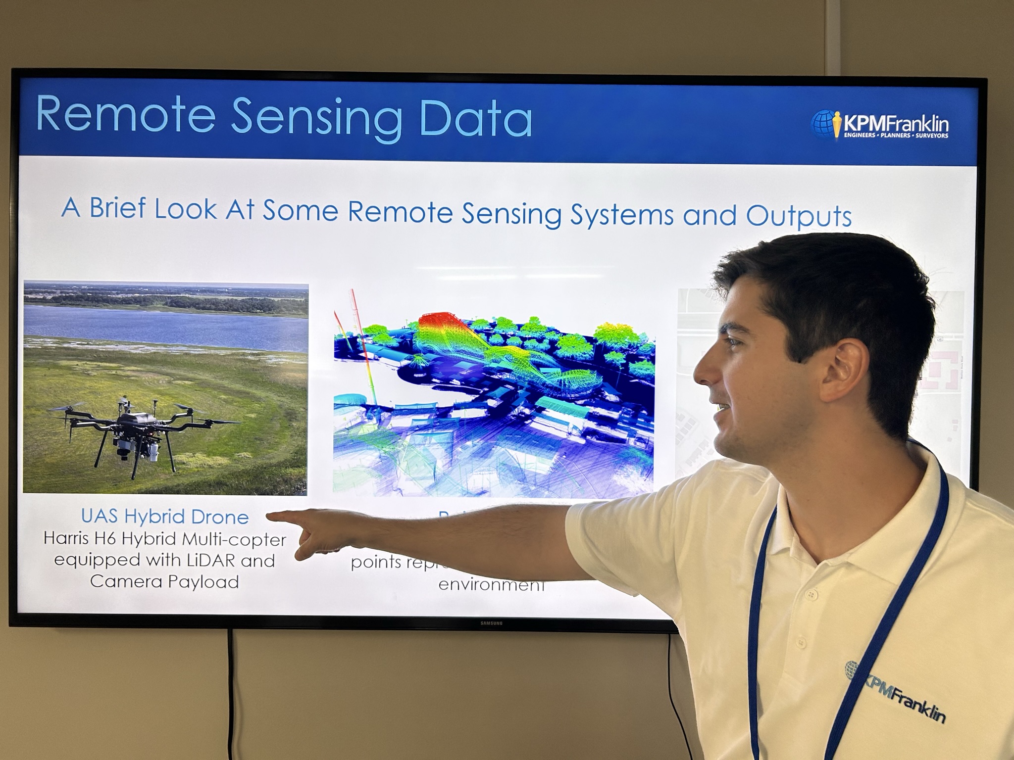
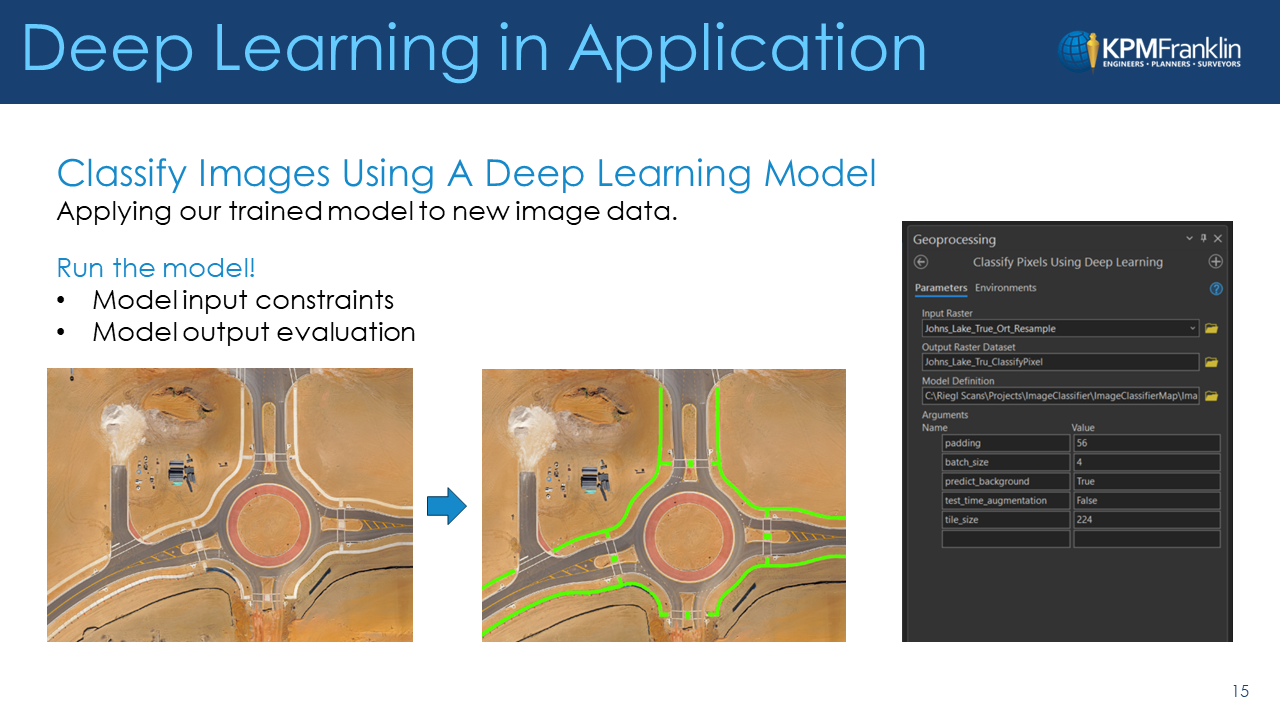
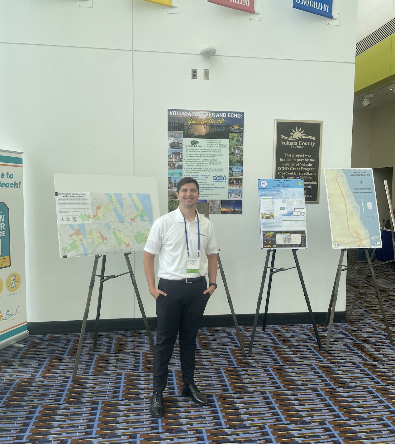
This week KPM Franklin’s GIS lead Carson Kelly attended the Central Florida GIS Workshop in Daytona Beach. Kelly presented Introduction to Deep Learning for Raster Analysis using ArcGIS Pro, a brief introduction of how deep learning systems work followed by a workflow demonstration of a simple deep learning model that classifies aerial images captured with our Harris H6 UAS system using ArcGIS Pro deep learning tools.

We are deeply engaged in learning new technologies and embracing the changes that AI brings with it to incorporate innovative and more efficient techniques in our work.

Learn more about how we use these technologies in our unmanned aerial services services.kpmfranklin.com/uas

Recent Posts

Best Workplace for Commuters

KPM Franklin has been recognized for the fifth consecutive year as one of the Best Workplaces for Commuters in the United States by the Center

Hillpointe Davenport Force Main

The sanitary force main connection at the Hillpointe multi-family project in Davenport was successfully completed ahead of schedule on Tuesday, December 5, 2023. This installation

Fun Spot 3D Animated Flythrough video

Using our Harris Aerial Carrier H6 Hybrid Drone, we created a 3D point cloud and rail line extraction of the Mine Blower rollercoaster at Fun

3D Surface Maps – DEM, DTM, DSM

KPM Franklin’s Unmanned Aerial Surveying (UAS) Services can produce 3D surface maps – DEM, DTM and DSM – that are easier to analyze visually with

Interested in joining us? KPM Franklin is always looking for qualified talent.