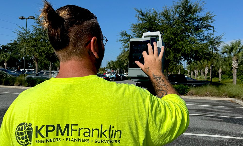
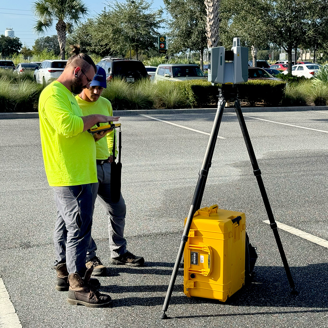
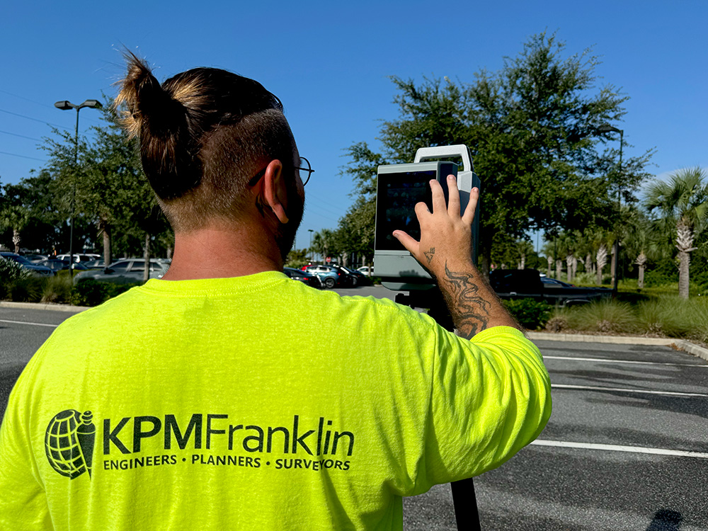
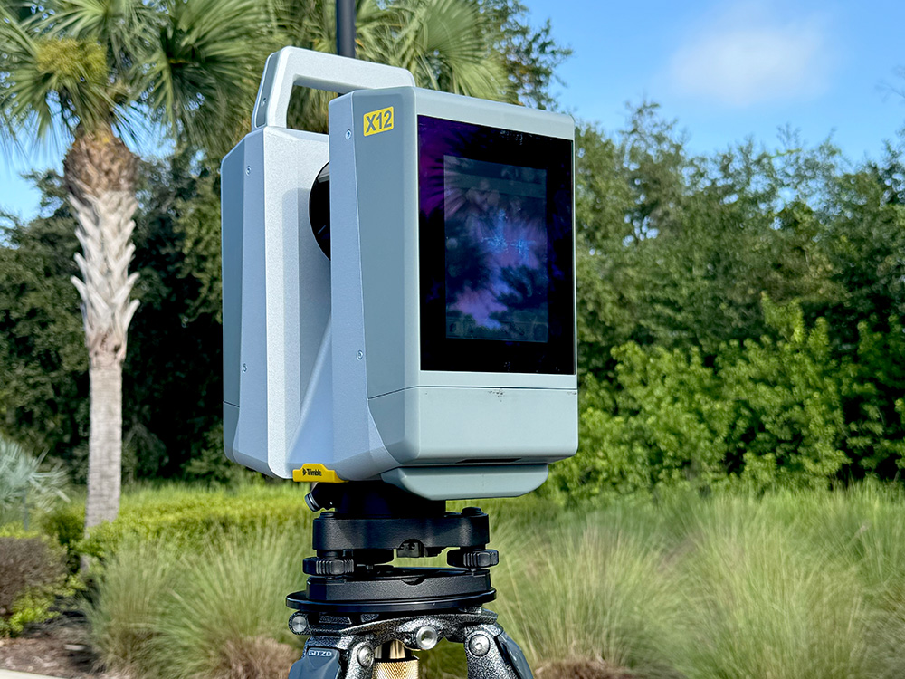
KPM Franklin’s terrestrial LiDAR services captures accurate and precise high-resolution data for mapping detailed geographical features in complex areas that traditional systems might miss. This data is used to build 3D models for a variety of applications including topographical survey maps for civil engineering site design and other land use projects.
ACE Mentor Program
For the second consecutive year, KPM Franklin is proud to host the ACE Mentor Program of Central Florida at our Kissimmee office. Throughout the 2025-2026