Insights

Unmanned Aerial Surveying Services

In the right environment, KPM Franklin’s aerial LiDAR scanning can reduce two weeks of traditional field survey time to as little as two days, drastically decreasing survey lead time and reducing costs.

For more about our unmanned aerial surveying (UAS) services, visit services.kpmfranklin.com/uas
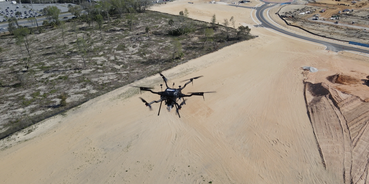
Video – Our Harris Aerial Carrier H6 Hybrid drone conducting aerial LiDAR scan at Westfall Station project site, Clermont, FL

Recent Posts

Best Workplace for Commuters

KPM Franklin has been recognized for the fifth consecutive year as one of the Best Workplaces for Commuters in the United States by the Center

Hillpointe Davenport Force Main

The sanitary force main connection at the Hillpointe multi-family project in Davenport was successfully completed ahead of schedule on Tuesday, December 5, 2023. This installation

Fun Spot 3D Animated Flythrough video

Using our Harris Aerial Carrier H6 Hybrid Drone, we created a 3D point cloud and rail line extraction of the Mine Blower rollercoaster at Fun

3D Surface Maps – DEM, DTM, DSM

KPM Franklin’s Unmanned Aerial Surveying (UAS) Services can produce 3D surface maps – DEM, DTM and DSM – that are easier to analyze visually with

Interested in joining us? KPM Franklin is always looking for qualified talent.