This spring KPM Franklin entered into a corporate sponsorship agreement with the University of Central

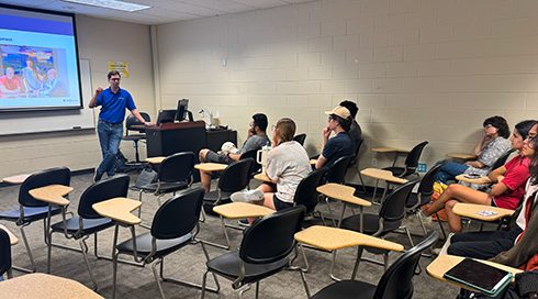
KPM Franklin participated in the University of Central Florida (UCF) College of Engineering & Computer
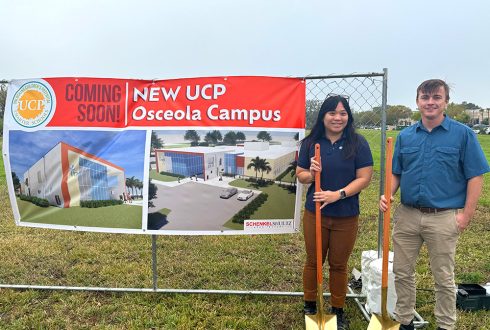
KPM Franklin’s Daniel Doyle P.E, project manager, and Kimmy Phan P.E., project engineer, attended the
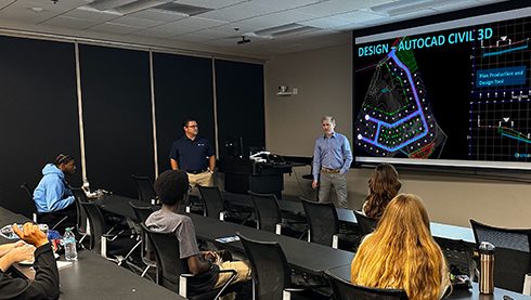
KPM Franklin recently presented Land Development 101 to members of the University of Central Florida

On February 8, 2025, KPM Franklin participated in the University of Central Florida (UCF) College
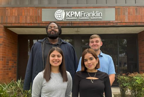
KPM Franklin is honored to have four talented University of Central Florida (UCF) civil engineering

KPM Franklin is proud to showcase nine innovative projects completed this year where our firm
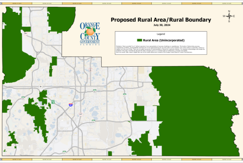
Orange County has proposed charter amendments 9 and 10, which will be present on the

On September 9, the Osceola County Board of County Commissioners voted to increase one-time mobility
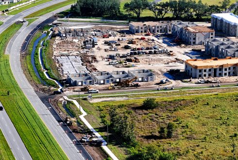
The Offsite improvements at the Falcon Trace II multi-family residential project in Kissimmee Fla. are