
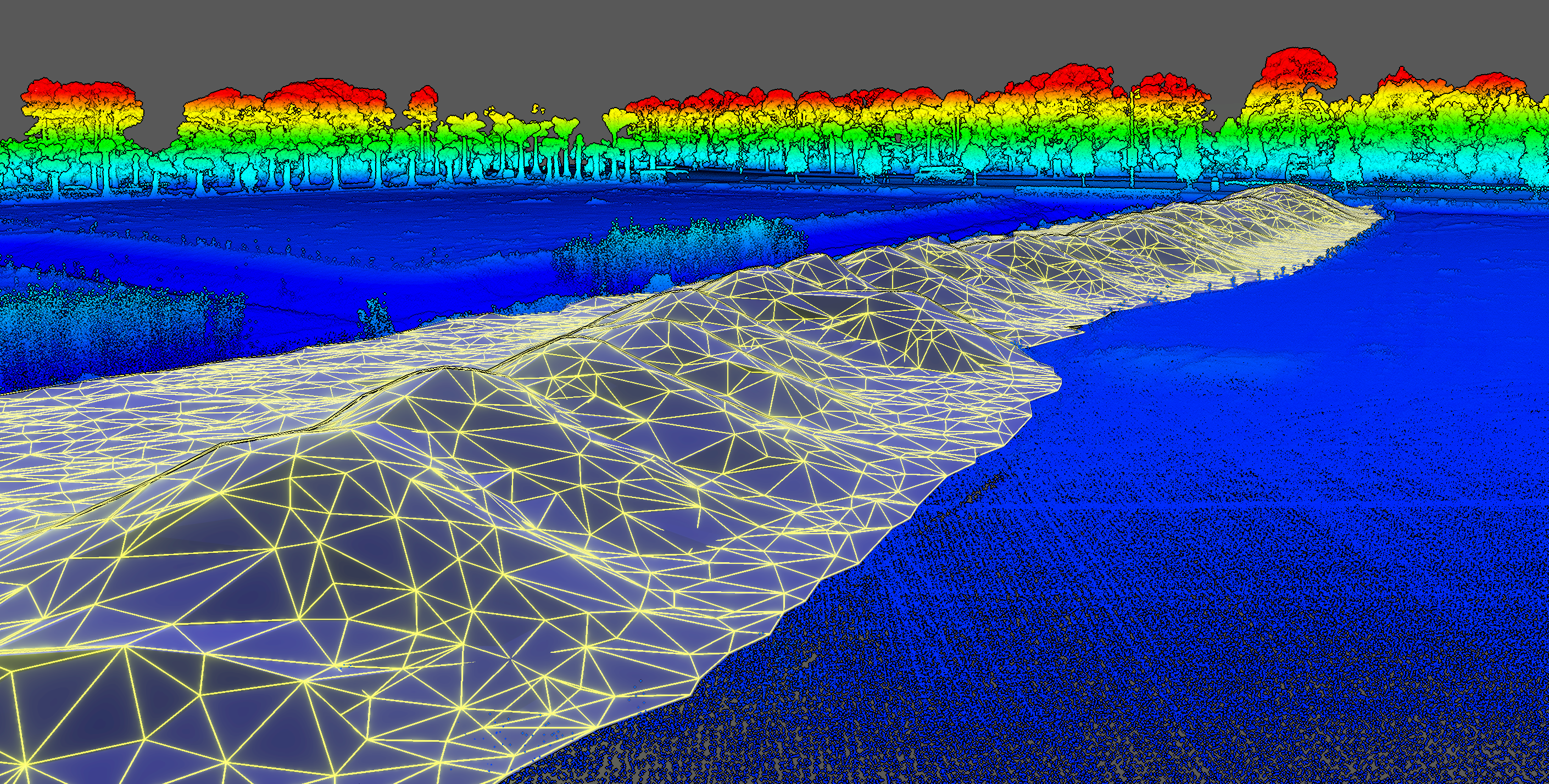
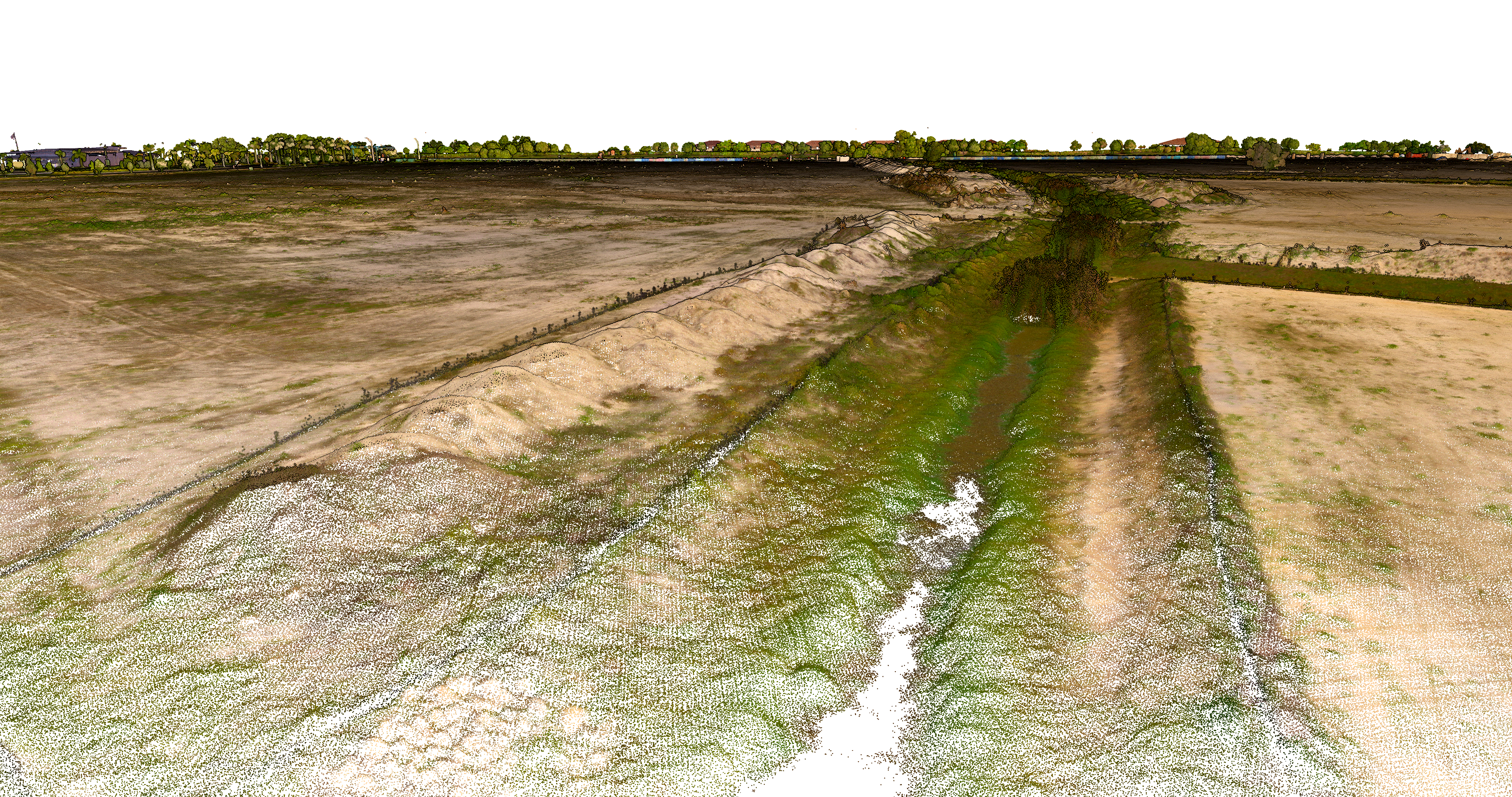
KPM Franklin’s Unmanned Aerial Surveying Services can create more accurate volumetric calculations of material stockpiles of any size or shape in a fraction of the time it takes for other traditional surveying. Our LiDAR scanning drone can repeat the same flight path to monitor changes in volume over time.
Visit https://services.kpmfranklin.com/uas for more information.
Kissimmee Fire Station 2 Groundbreaking
KPM Franklin’s Dominic McFall, project manager, and Carlos Castro Martinez, project engineer, attended the groundbreaking ceremony for the City of Kissimmee’s Fire Station 2 that