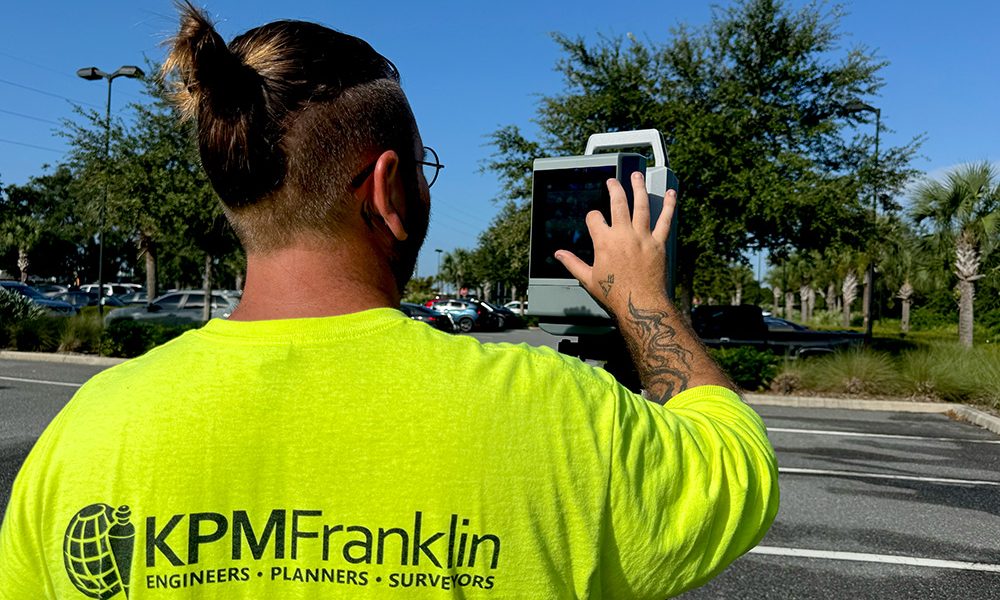
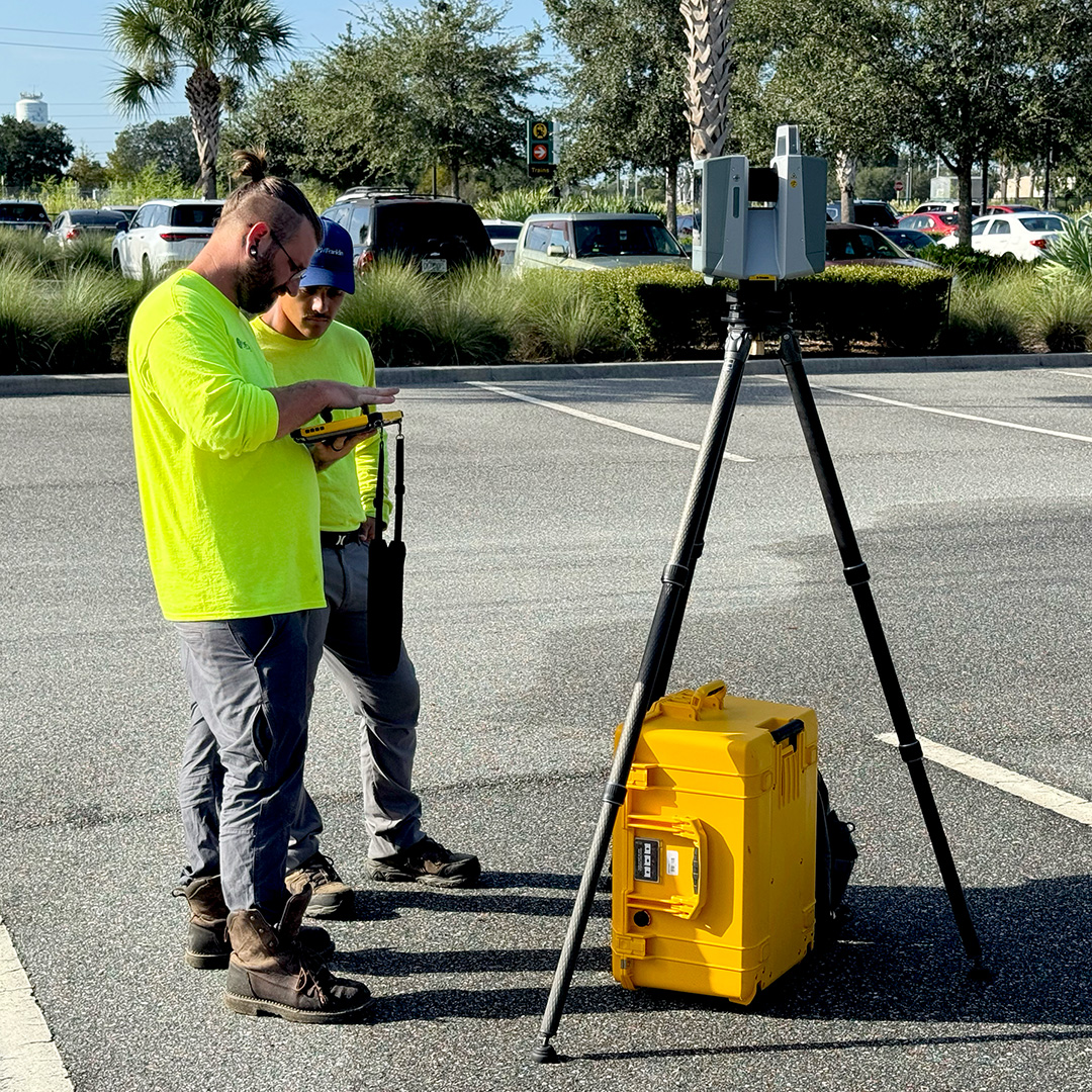
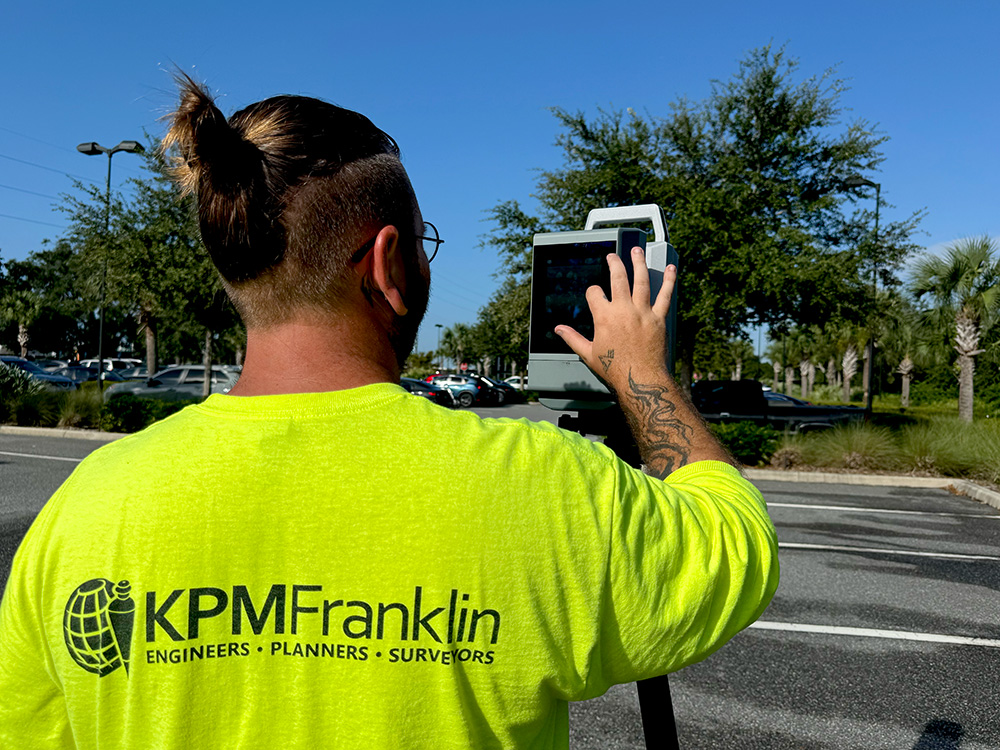
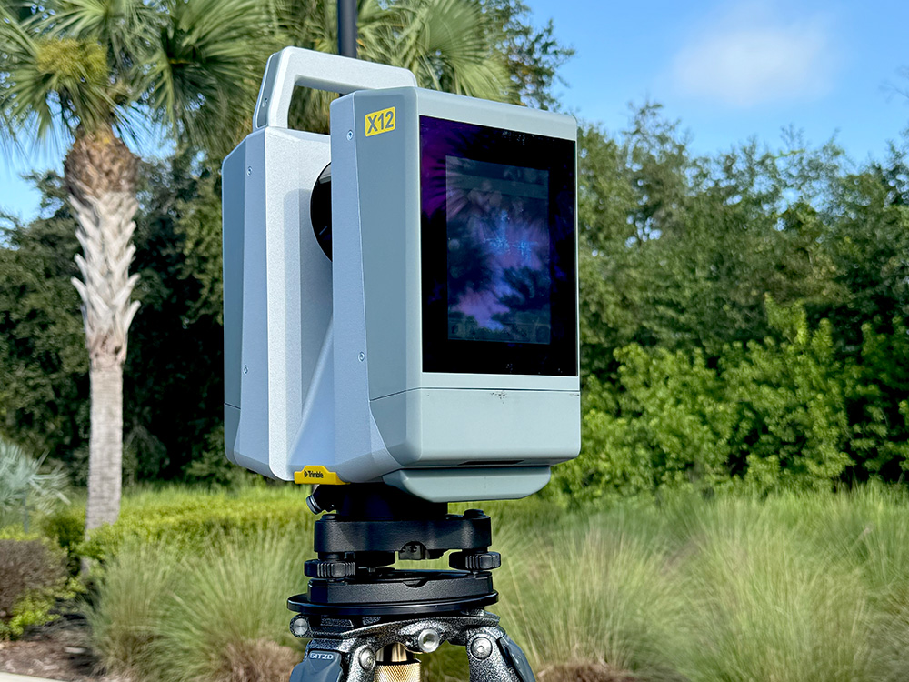
KPM Franklin’s terrestrial LiDAR services captures accurate and precise high-resolution data for mapping detailed geographical features in complex areas that traditional systems might miss. This data is used to build 3D models for a variety of applications including topographical survey maps for civil engineering site design and other land use projects.
Kissimmee Fire Station 2 Groundbreaking
KPM Franklin’s Dominic McFall, project manager, and Carlos Castro Martinez, project engineer, attended the groundbreaking ceremony for the City of Kissimmee’s Fire Station 2 that