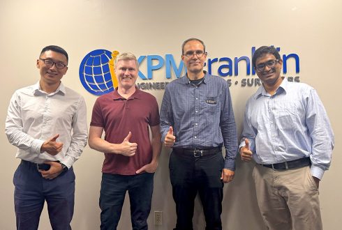
Today, KPM Franklin’s Orlando office received Dr. Kevin Mackie, UCF’s engineering department chair, and Dr.
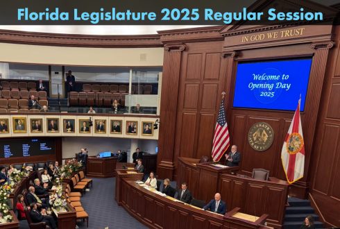
The following are three bills related to land development that were passed by the Florida
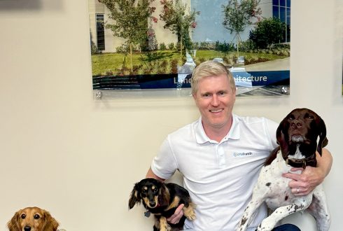
To celebrate National Bring Your Dog to Work Day, several of our staff members in
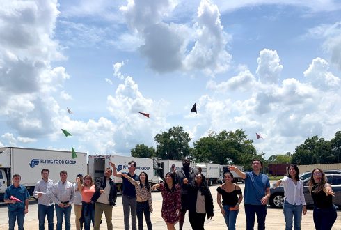
Our Orlando and Kissimmee offices celebrated National Paper Airplane Day yesterday with our third annual
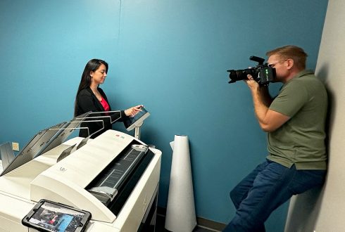
Last week, Scott Watt, commercial photographer, visitied our Orlando office to capture our collaborative culture
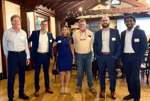
For the fifth year in a row, KPM Franklin’s Jay Brown, RLA mentored six undergraduates
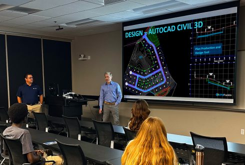
This spring, KPM Franklin entered into a corporate sponsorship agreement with the University of Central
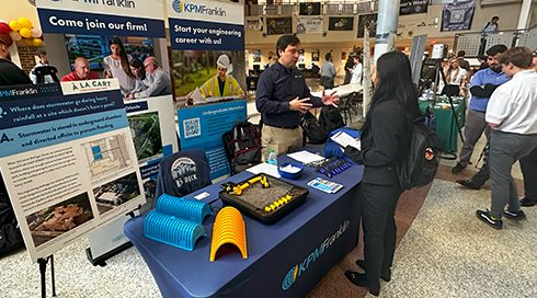
KPM Franklin participated in the University of Central Florida (UCF) College of Engineering & Computer
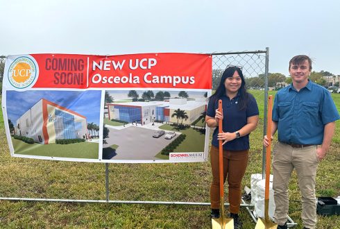
KPM Franklin’s Daniel Doyle P.E, project manager, and Kimmy Phan P.E., project engineer, attended the
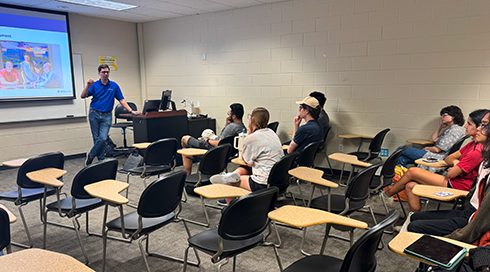
KPM Franklin recently presented Land Development 101 to members of the University of Central Florida