
KPM Franklin is providing due diligence analysis, high-level concept planning, preliminary engineering plans and site
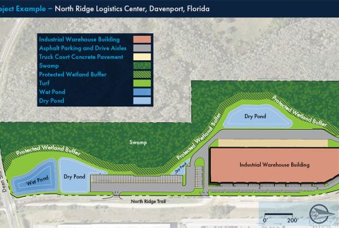
KPM Franklin’s civil engineers are experts at integrating Florida’s new statewide stormwater rules into our

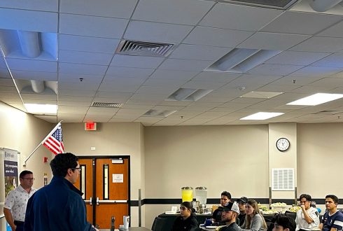
This weekend, many of our Orlando and Kissimmee office staff members attended an exciting Orlando
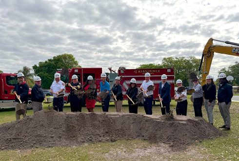
KPM Franklin’s Dominic McFall, project manager, and Carlos Castro Martinez, project engineer, attended the groundbreaking

KPM Franklin’s Alex Goetz PE, vice president Orlando engineering, and Adriana Lopez EI, project engineer,
KPM Franklin hosted a Land Development tech talk at the UCF College of Engineering &

KPM Franklin connected with @University of Central Florida students during the UCF College of Engineering
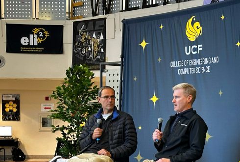
KPM Franklin’s Robby Moon, CEO, helped the UCF College of Engineering & Computer Science celebrate
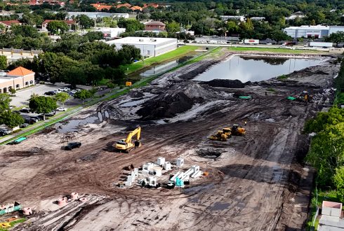
KPM Franklin’s work on the UCP of Central Florida Osceola K-12 School Campus in Kissimmee,

ORLANDO, Fla., January 27, 2026 – KPM Franklin is pleased to announce the renaming of