Insights

UCF Engineering Department Visit to KPMF
Today, KPM Franklin’s Orlando office received Dr. Kevin Mackie, UCF’s engineering department chair, and Dr. Naveen Eluru, UCF’s engineering department director of graduate programs and

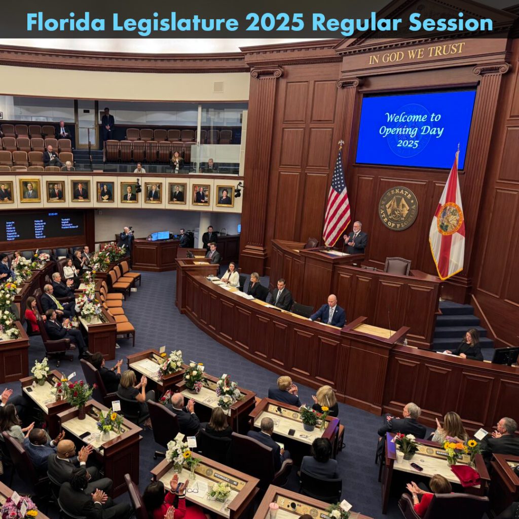
Florida Legislative Update
The following are three bills related to land development that were passed by the Florida Legislature during the 2025 Regular Session and signed recently by

Bring Your Dog to Work Day 2025
To celebrate National Bring Your Dog to Work Day, several of our staff members in our Orlando and Kissimmee offices brough their dogs to work

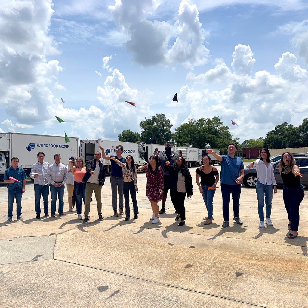
National Paper Airplane Day 2025
Our Orlando and Kissimmee offices celebrated National Paper Airplane Day yesterday with our third annual paper airplane competition. Congratulations to Carlos Castro, project engineer in

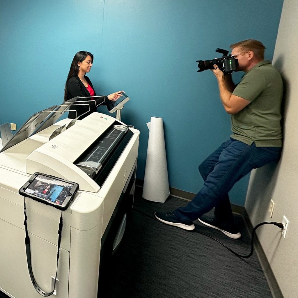
Scott Watt Photography
Last week, Scott Watt, commercial photographer, visitied our Orlando office to capture our collaborative culture and the essence of teamwork at KPM Franklin. Several engineers

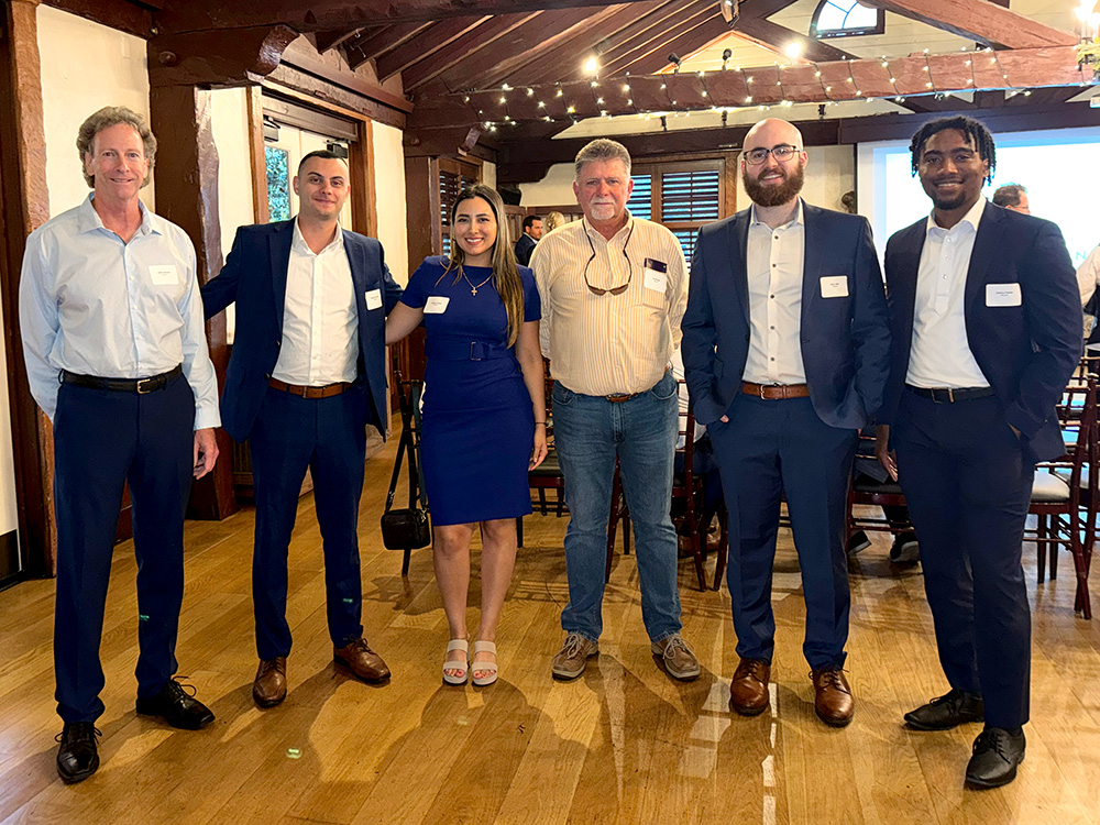
NAIOP Case Study Competition
For the fifth year in a row, KPM Franklin’s Jay Brown, RLA mentored six undergraduates University of Central Florida students who put together a full
Recent Posts
Drainage Site Plan Updates Obsolete Sanitary Line
KPM Franklin’s work on the UCP of Central Florida Osceola K-12 School Campus in Kissimmee, Fla. is a prime example of how unexpected infrastructure challenges
Geospatial & Land Surveying Department Rename
ORLANDO, Fla., January 27, 2026 – KPM Franklin is pleased to announce the renaming of its land surveying and mapping department to Geospatial & Land
ACE Mentor Program
For the second consecutive year, KPM Franklin is proud to host the ACE Mentor Program of Central Florida at our Kissimmee office. Throughout the 2025-2026
NAIOP Golf Tournament
Last week, KPM Franklin participated in NAIOP Central Florida’s annual golf tournament at Shingle Creek Golf Club in Orlando. KPM Franklin was proud to once
UCF CECE Career Fair
Last week, KPM Franklin had the pleasure of participating in the UCF Department of Civil, Environmental and Construction Engineering (CECE) Fall Career Mixer. Our team
2025 Halloween Costume Contest
Last week on Friday, we celebrated Halloween with a costume contest at our Orlando and Kissimmee offices. Congratulations to contest winners Mileena Warsi, administrative assistant
